Readtime: 5 minutes
Client: University of Potsdam, Institute of Geosciences
Partner: more3D, WE are XR GmbH
Purpose: Geoscience Research, Education, and Crisis Preparedness
Technology: 3-Sided CAVE System powered by moreViz from more3D
The Challenge before CAVE and VR
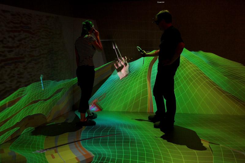
Understanding complex geological structures and dynamic spatial data is central to geoscience—but difficult to achieve using 2D screens and cross-sections alone. “Before the CAVE, we needed dozens of sections and separate interpretations,” recalls Dr. Gerold Zeilinger, head of the geosciences 3D lab at Potsdam University. “Now, we can step inside the data.”
Early attempts in 2008 used planar displays, but in 2011, with the help of WE are XR GmbH the university inaugurated its 3-sided CAVE to offer an immersive, intuitive, and collaborative environment for geoscience research, teaching, and crisis simulation. The system needed to be powerful, yet simple enough for everyday use by students and researchers alike, while supporting a wide variety of applications.
Project Requirements for the 3D CAVE
From the outset, the university prioritized user-friendliness, fast data access, and broad software compatibility. “At other institutions, getting data into VR could take days,” Zeilinger notes. “We wanted to plug in a USB stick and start within minutes.”
“At other institutions, getting data into VR could take days we wanted to plug in a USB stick and start within minutes.”
Key features of the installed CAVE include:
- 3 projection surfaces (2 rear-projected walls + 1 front-projected floor), each 3.84m × 2.4m
- Barco NW-12 projectors with 1920×1200 resolution and Infitec active stereo
- A.R.T. tracking with Flystick 3 and finger tracking
- High-performance GPU cluster with NVIDIA Quadro and Crestron control system
- 7.1 surround audio via Denon + Teufel
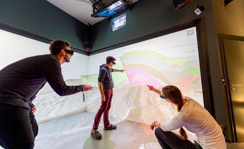
Designed for groups, the open-sided setup supports large-scale viewing, interaction, and collaboration—foundational for both teaching and research. This technical infrastructure laid the foundation. The software decision would bring it to life.
Why choosing moreViz Software for a CAVE
Initially using another software, the university later transitioned to moreViz by more3D for its straightforward and intuitive usability, flexible licensing, and wide-ranging support of various applications, making the CAVE a practical workspace.
Key benefits include:
- Plugin-based rendering of CAD, GIS, and geoscience data—no file conversion needed
- Support for major tools like ArcGIS, Petrel, MOVE, LIME, and more
- Live interaction and collaboration—rotate, annotate, and edit models in real time
- User-friendly calibration and interface for fast onboarding
- Cost-effective and flexible licensing tailored to academic needs and budget constraints
Implementation & Investment of the project
The system was installed in five to six months, as significant structural modifications were made, including cooling and soundproofing. The total investment was around €600,000. Annual maintenance remains modest at €2,000–€3,000, mainly for projector lamps and occasional hardware upgrades (e.g., GPUs).
Training is minimal. “Even faculty members who are not digital natives are up and running within 30 minutes,” says Zeilinger. The investment has proven its worth not just in research productivity but also in outreach and visibility. The lab regularly features in public science events and cross-faculty demonstrations.
“Even faculty members who are not digital natives are up and running within 30 minutes.”
Use Cases and Real-World Impact of VR for an university
Field Planning & Research
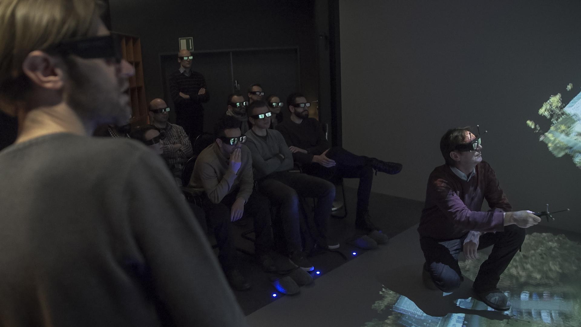
Researchers have used the CAVE to explore tectonic structures and complex topographies in the Andes and Himalayas and to prepare seismic studies in Pakistan. Visualizing seismic interpretations has also proven helpful for various industries and for explaining correlations. By “walking” through digital terrain models, they plan field access more efficiently—including identifying safe access points—and visualize structural targets with greater clarity. “It speeds up planning, understanding, and collaboration,” notes Zeilinger. It also enhances the communication of research results, leading to better buy-in from decision-makers.
Crisis Simulation & Decision Support
In the oKat-SIM project, geological insights supported disaster preparedness exercises. Immersive visualization helped civil protection agencies grasp risks and terrain challenges—from flood scenarios to landslide zones—enabling more informed planning and response. “You don’t have to explain much when the visuals speak for themselves.”
“You don’t have to explain much when the visuals speak for themselves.”
Education & Student Engagement
Students grasp complex topologies and stratigraphy more quickly. “In 2D, terrain features are abstract. In the CAVE, they’re intuitive,” says Zeilinger. Collaborative projects, live presentations, and peer interaction happen naturally in the space—boosting engagement and accelerating learning.
Lessons Learned & Best Practices for a VR CAVE
- Simplicity is key: Plug-and-play access and intuitive controls are what keep the system in daily use.
- Think interdisciplinary: The CAVE isn’t reserved for geoscientists—it can be used by planners, ecologists, and other faculties, especially when showcased at events.
- Ensure software flexibility: Supporting familiar software tools means users don’t need to learn new systems or convert files. Independent control of projection surfaces allows for mixed-use sessions—presentations on one screen, models on another.
- Design for real collaboration: Unlike headsets, the CAVE allows group presence, face-to-face interaction, and eliminates motion sickness—ideal for discussion-driven work.
Zeilinger’s advice to universities: “Keep the tech out of the user’s way. Let them focus on the data.”
“Keep the tech out of the user’s way. Let them focus on the data.”
Looking Ahead – the future of VR and AR for scientific research
“Data is becoming more complex, more spatial, and harder to explain with flat maps. Many people struggle to read topographic maps,” says Zeilinger. “VR and AR help turn abstract data into actionable understanding.”
In the long run, AR and mobile passthrough VR for field-based collaboration—using head-mounted displays (HMDs) to overlay models onto real-world environments—will become even more significant. This blend of real and digital context enhances understanding while in the field, projecting simulated futures into the real world, allowing collaboration with colleagues, and avoiding motion sickness—a common issue in full VR.
For now, the CAVE remains the hub of immersive geoscience at Potsdam—a showcase of how thoughtful design and the right software can turn complex data into shared insight. At Potsdam, the CAVE is more than just a showpiece—it is a practical tool for science, collaboration, teaching, and knowledge transfer.
Interested in exploring what a CAVE system could look like for your institution?
Contact more3D to learn how we help universities bring their data to life with intuitive, powerful immersive technology.

Creo in VR: How to Bring Easily Your CAD Models into Virtual Reality
Virtual Reality has become an increasingly valuable tool for engineering, design reviews, factory planning, and customer presentations.VR offers Creo users the opportunity to experience products

VR Step-by-Step Guide: How to Get Started With VR in 2026
A few years ago, it sounded like everyone would soon move into the metaverse. That… did not quite happen. At least not in the way
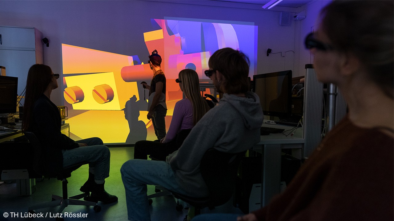
Next-Level Engineering Education: How Students Instantly Understand Complex Systems
A Case Study on TH Lübeck’s 3D Visualization Engineering education has changed significantly over the past decades. And yet, one challenge remains surprisingly persistent: how
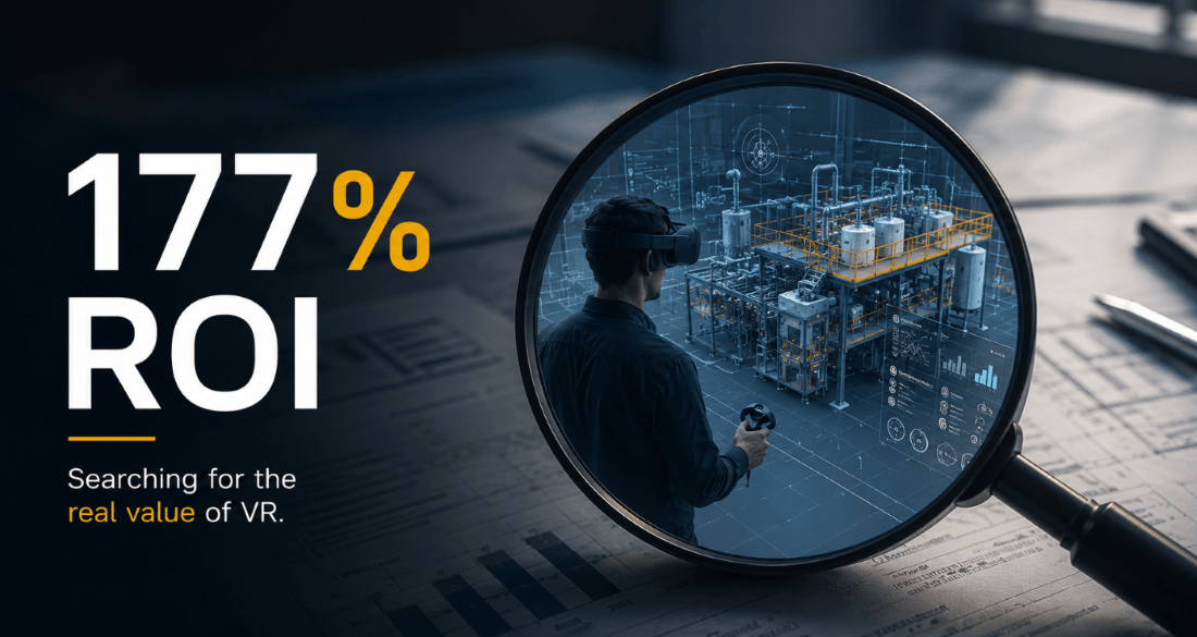
177% ROI? Is VR Actually Worth the Investment?
177% ROI. 4x Faster Training. Millions Saved in Downtime and Errors. So Why Are Many Companies Still Unsure About VR? A Forrester study projected a
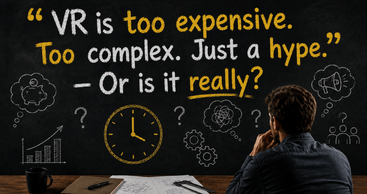
“VR is too expensive. Too complex. Just a hype.” — Or is it really?
10 common misconceptions that sound reasonable … but often miss what actually matter If you bring up Virtual Reality in a serious engineering or business
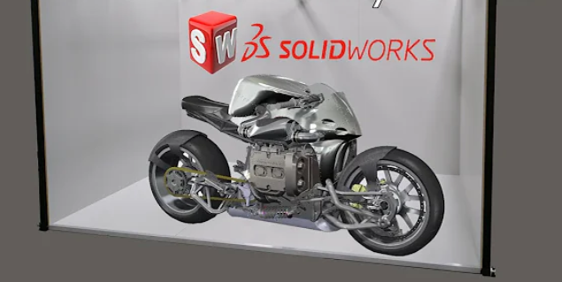
VR in SolidWorks: How moreViz Brings CAD into VR Without Complex Workflows
Virtual Reality is no longer just an experimental technology for gaming or trade shows. In engineering, it is increasingly becoming a practical tool for improving